
we are Engineers, Surveyors and Planners for the Columbia Basin.
Columbia Northwest Engineering, P.S. is dedicated to serving clients by providing professional services that can carry a project from concept through final completion. Our mission is to provide professional engineering, land surveying, and planning services to our clients that meet or surpass expectations.
The implementation of each project is based on a clear understanding of the client's budget, schedule, and project needs. We are committed to this ideal. Our professional staff is dedicated to providing innovative, functional, and practical solutions for timely, cost-effective projects.


Professional surveying services including surveying and construction administration for multiple projects and studies.
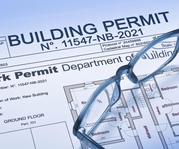
We have an expertise in planning services including studies and permitting for many project types including Federal & State, growth management and many more.

With years of professional engineering experience, we can assist with design, testing and construction administration for your project.
Brings hands-on field and office expertise to every survey and engineering project, ensuring accuracy from the ground up.
Licensed Professional Land Surveyor with deep knowledge of Washington and Idaho survey law, boundary analysis, and ALTA standards.
Skilled field technician supporting boundary surveys, construction staking, and topographic mapping across the Columbia Basin.
Keeps projects moving by coordinating schedules, client communications, and day-to-day operations across all service areas.
Supports civil engineering design and drafting, from site grading and utility layout to construction document preparation.
The organizational backbone of CNWE — managing client intake, project tracking, and the day-to-day that keeps everything running smoothly.
With 24 years of experience, Columbia Northwest Engineering has the experience, know how, professionalism and expertise to help with your project. Here is some of our previous projects we've worked on.